


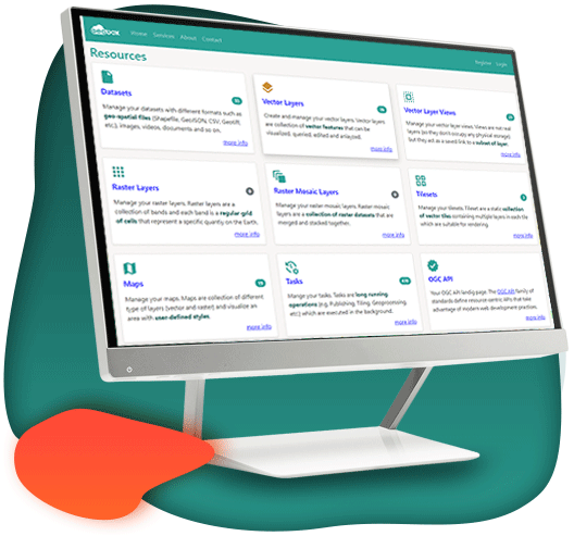

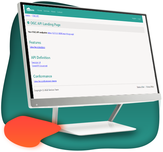
 Geoportal
 Tiling Services
 Tiling Services
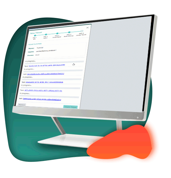
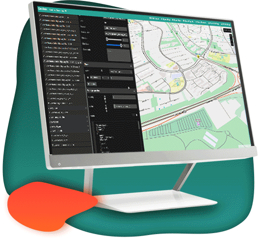
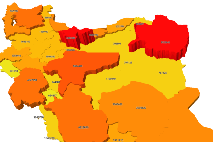
Map Studio
 Map Studio
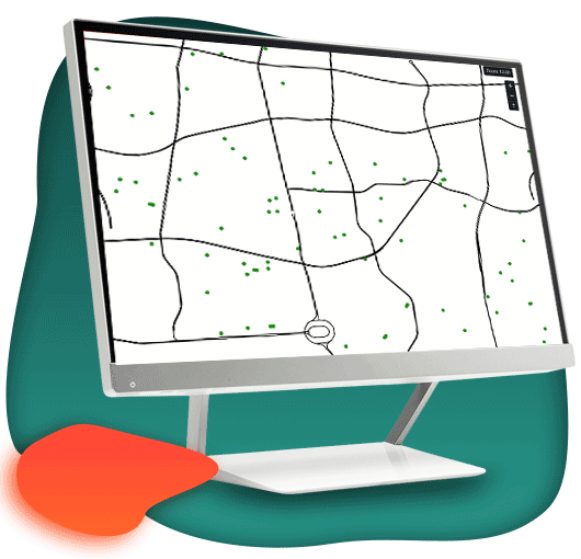
Vector Services
 Vector Services
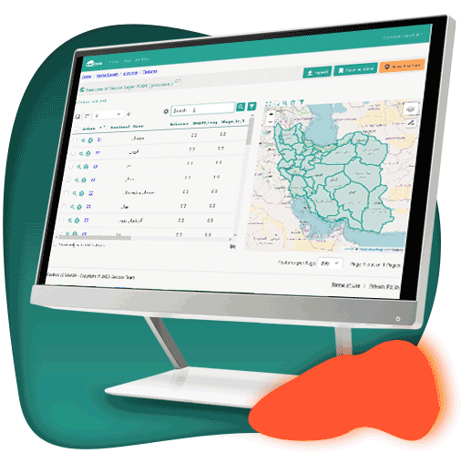
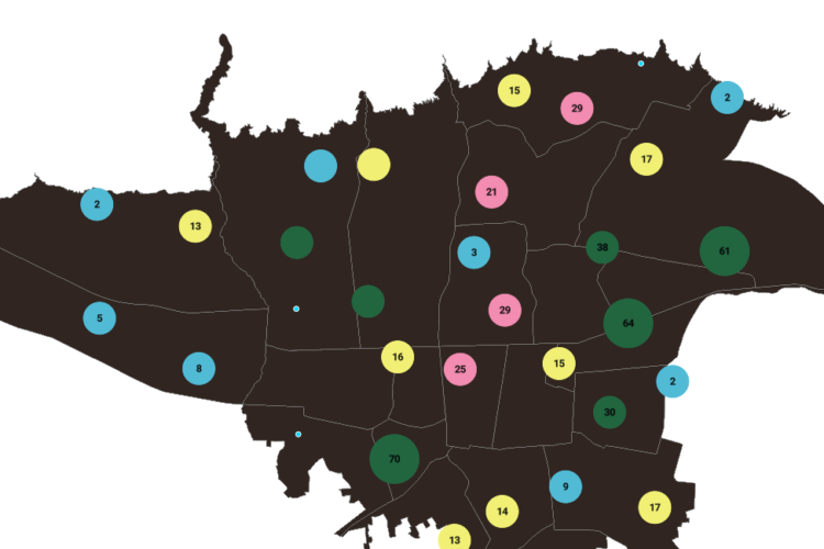
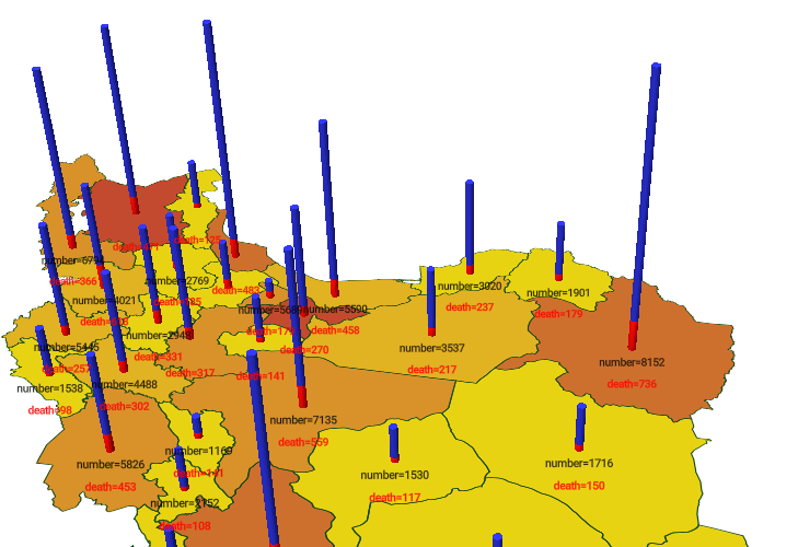
Geo Data Analytics
 Geo Data Analytics
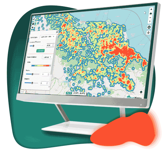
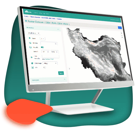
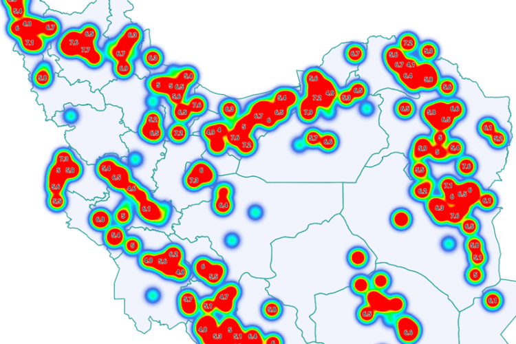
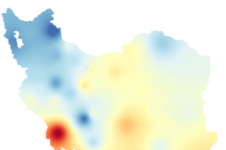
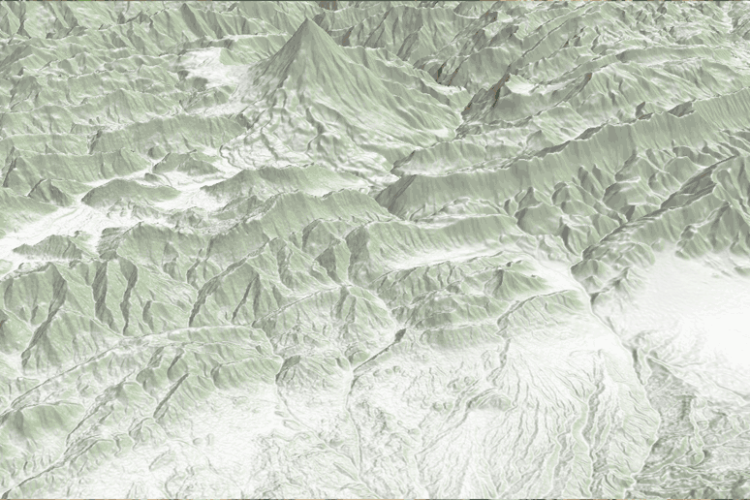
Raster Services
 Raster Services
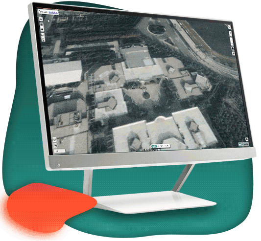
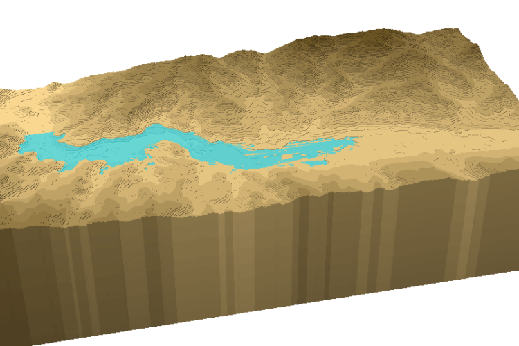
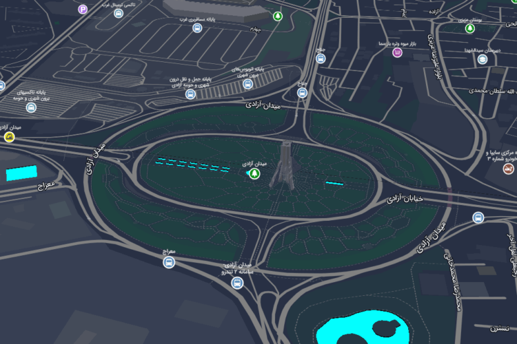
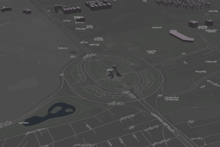
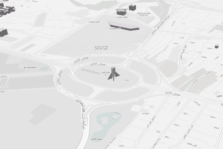
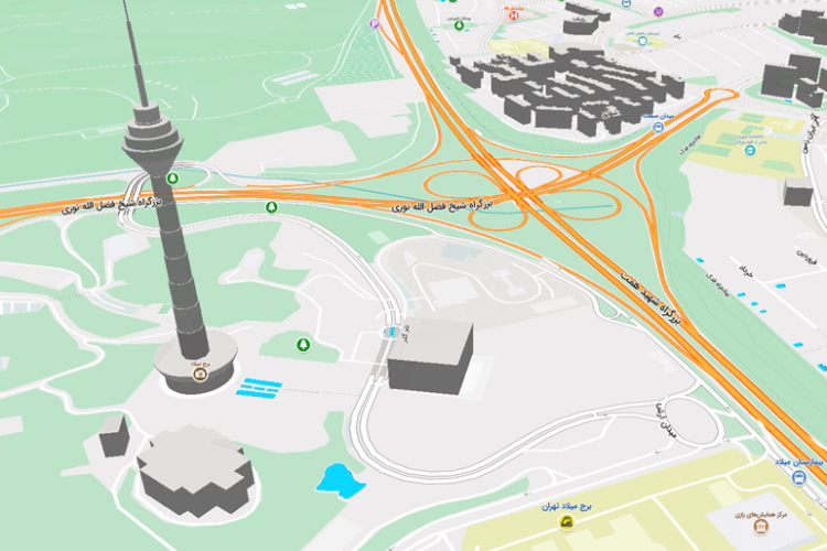
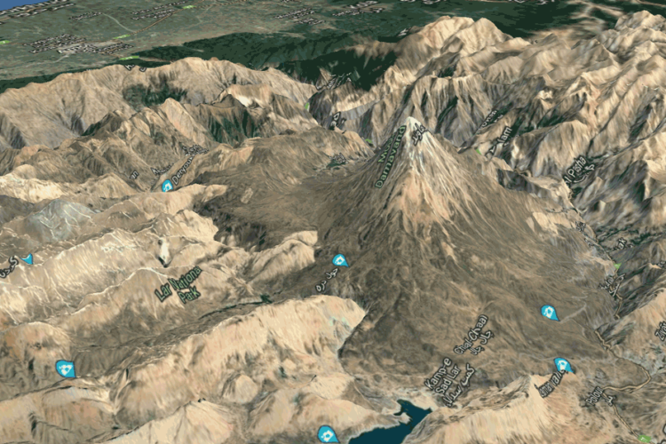
3D Modeling
 3D Modeling
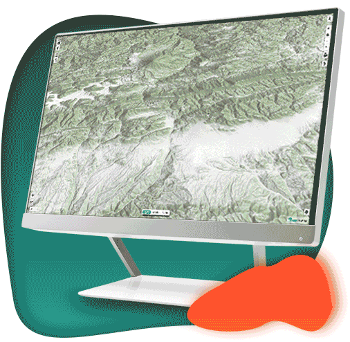
Geoprocessing
 Geoprocessing
 Geo AI
 Geo AI
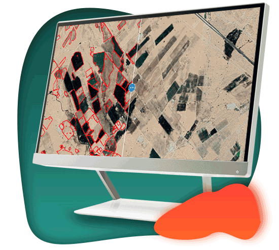
Custom Geo Apps
 Custom Geo Apps

Modern
Developed based on cutting edge technologies
A GIS Server implemented based on cloud computing in mind

Easy
Designed based on minimalistic approaches
Pleasant user experience compared to complex GISs

Safe
Deployed on highly secured cloud infrastructures
Fine grained and advanced features for securing services

GIS ابری جدیدترین نسل سامانههای اطلاعات مکانی است که با بهرهگیری از معماری مبتنی...

Information sharing using cloud GIS promotes the development of studies.